


The problem
New Zealand needs more housing and infrastructure, and accommodating more people has often meant a net loss of trees. Developers, planners and green space professionals needed a fast way to work out the true number of trees required to replace the environmental input of the ones coming out, without hiring an expert each time. Andrew Benson and Sean McBride founded Urban Forest Solutions to solve this with science and technology, with upcoming carbon neutrality legislation in mind. They came to Applicable with the vision and a rough idea of the app; the job was to turn it into something simple to use.
What we built
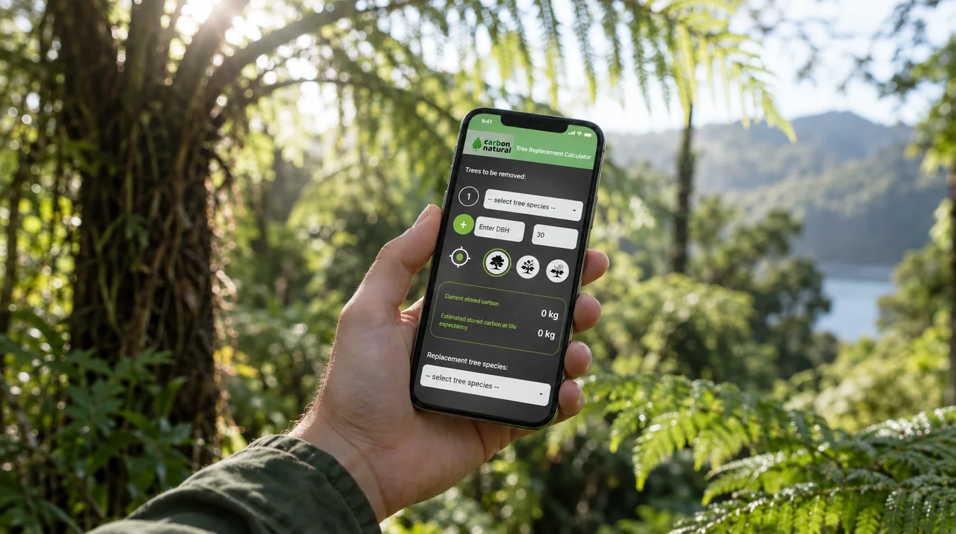
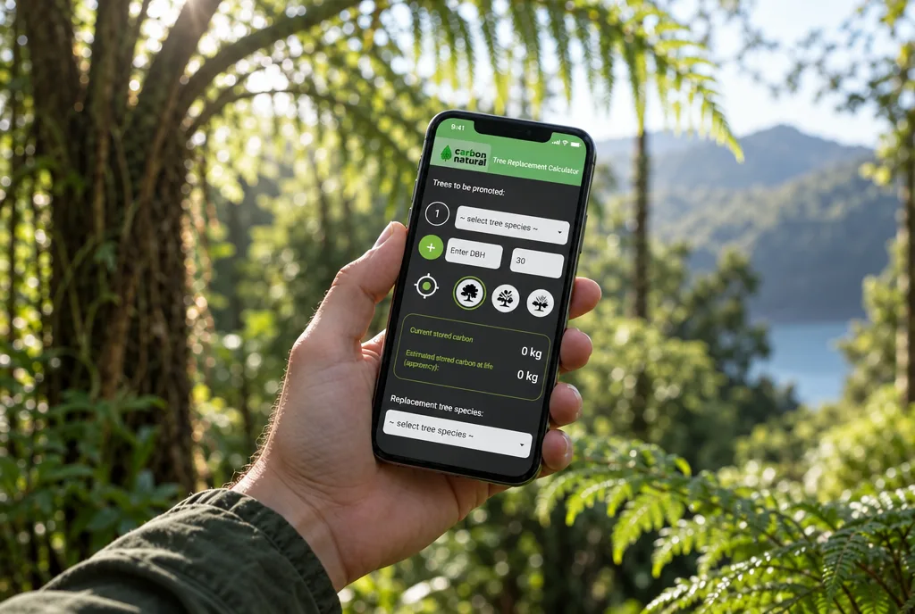
Applicable started with wireframes of the key screens so the flow was settled before development began. In consultation with the client, the app was built in React Native so one codebase could ship to both Apple and Android, which kept the build time-efficient and the cost down. The app integrates the Google Maps API so a user can tag each tree's location by tapping a button in front of it.
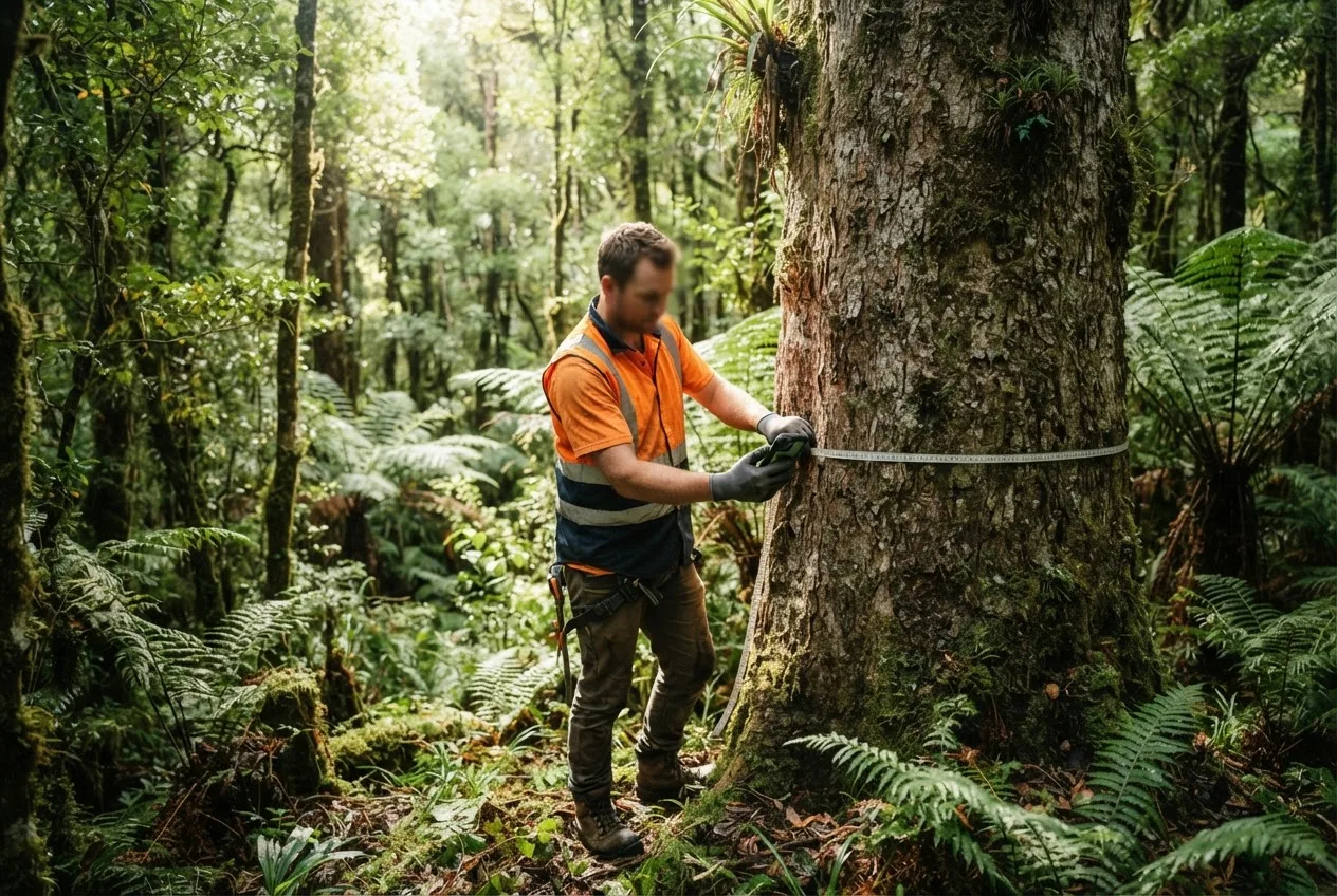
Under the surface, the app runs algorithms generated from several hundred tree-growth simulations. From a trunk diameter measurement it predicts size and stored carbon across a large range of species. The user enters a couple of pieces of information and gets a clear report at the end. The look and feel followed the client's brief: a modern, urban-green feel, with a crisp green and black logo on a dark background.
The result
Carbon Natural became the first released app in Urban Forest Solutions' planned series of environmental tools. At the time the case study was written, trials of the app were underway and the founders were already building the next one, a Root Zone calculator. The app removed the barrier of needing an expert for the calculation.
Key takeaways
- Applicable built the Carbon Natural tree replacement calculator app for Urban Forest Solutions in React Native.
- The app turns a trunk diameter measurement into a report using algorithms from several hundred tree-growth simulations.
- Location tagging uses the Google Maps API; the build started with wireframes of the key screens.